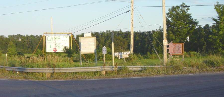
Fort Lawrence 1750 – 1756
Interpretative panel
The site of Fort Lawrence is in what is now Nova Scotia
but this interpretative panel is in what is now New Brunswick.
Before 1784, this area — now known as Westmorland County,
New Brunswick — was part of Sunbury County in Nova Scotia.
Historic events that occurred here in the 1750s, 1760s, and 1770s
took place in what was then Nova Scotia. Plaques and monuments
commemorating events that happened here before 1784 are included
in this collection of Nova Scotia historic markers. These include the
capture of Fort Beausejour in 1755, and the Eddy Rebellion of 1776.
From 1759 to 1784, Nova Scotia and Massachusetts shared a common boundary.
Nova Scotia’s western boundary was the eastern boundary of Massachusetts.
In 1784, the Nova Scotia side of this boundary became New Brunswick.
In 1820, the Massachusetts side of this boundary became Maine.
Interpretative panel located at
Fort Cumberland a.k.a. Fort Beausejour
Westmorland County, New Brunswick
(formerly Sunbury County, Nova Scotia)
This interpretative panel is located about 20m north from
the Fort Beausejour Museum in Aulac, New Brunswick.
GPS location: 45°51’49″N 64°17’33″W

Photographed on 24 June 2005
“The two forts faced each other across the Missaguash River”
which was then the boundary between French and British territory
(and is now the boundary between New Brunswick and Nova Scotia).

Photographed on 8 August 2005

Photographed on 8 August 2005

Photographed on 8 August 2005
Photographed on 24 June 2005

This is the view in front of you as you stand before this interpretative panel.
The site of Fort Lawrence is in what is now Nova Scotia but this interpretative panel
is in what is now New Brunswick – within sight of the site of Fort Lawrence.
In this view, the site of Fort Lawrence (Nova Scotia) appears in the distance,
while the near territory at the bottom of the picture is in New Brunswick.
The Missaguash River is the boundary between the two provinces.
Looking southeastward toward Fort Lawrence,
as depitcted on the panel (above) and as captured by my camera (below).

Photographed on 8 August 2005
Photographed on 8 August 2005

Photographed on 8 August 2005
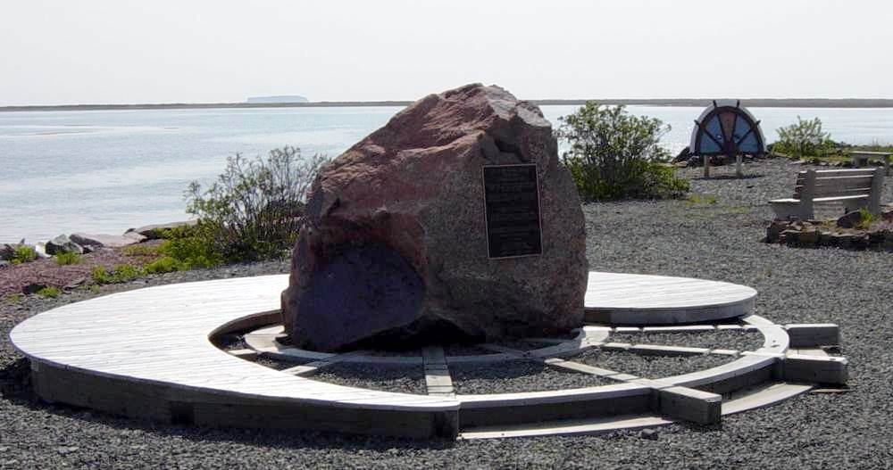
Fort Lawrence
Fort Lawrence historic plaque Historic Sites and Monuments Board
https://ns1763.ca/cumberco/fortlawrence-p.html
Charles Lawrence
http://planter2010.ca/bio/bio-35574-lawrence1709.html
Seven Years War
Timeline of the Seven Years War 1754-1763
The period 2004-2013 is the 250th anniversary of the
Seven Years War, a.k.a. the French and Indian War.
Includes important events in Nova Scotia.
https://ns1763.ca/remem/7yw-timeline-w.html