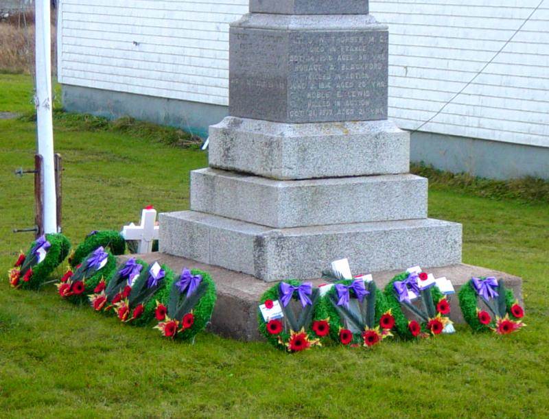
Photographs of
Freeport War Memorial
WW1 1914 – 1918
WW2 1939 – 1945
Located on the east side of Highway 217 in front of the Baptist Church
GPS location: 44°16’49″N 66°19’15″W
Google map showing this location
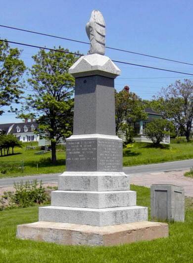
General view looking northwestward
Photographed on 13 June 2003 (before the highway was repaved)
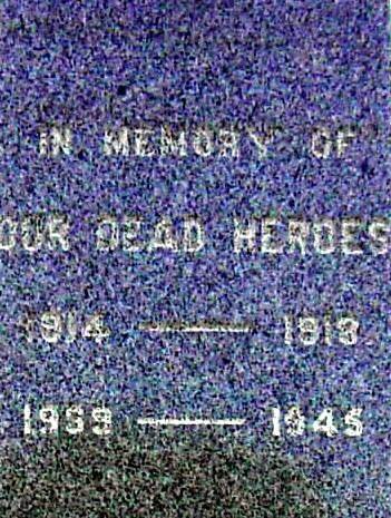 West face (toward the highway)
Photographed on 13 June 2003
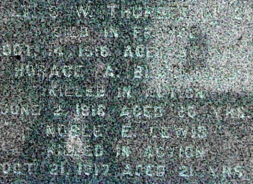 West face
Photographed on 13 June 2003
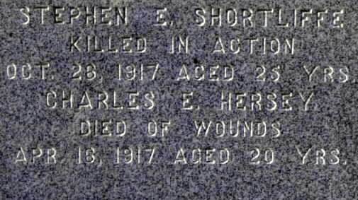 North face
Photographed on 31 October 2003
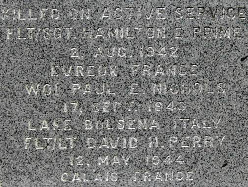 East face
Photographed on 13 June 2003
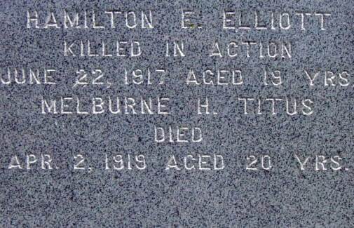 South face
Photographed on 13 June 2003

Photographed on 13 June 2003
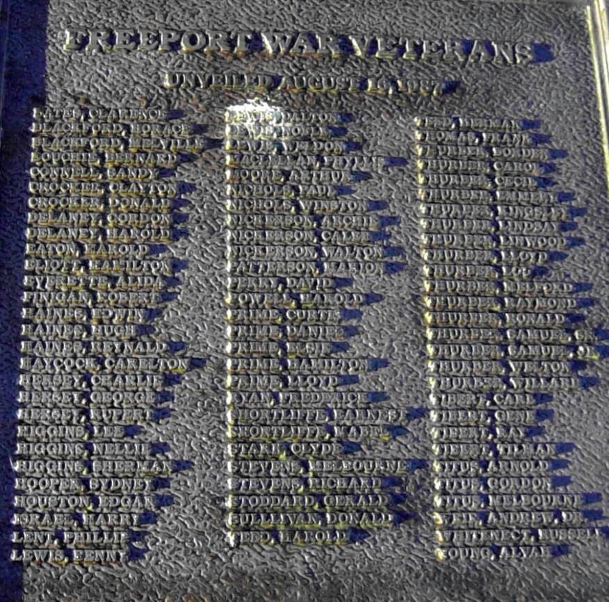
Plaque unveiled 16 August 1987, located about 2m north of the 1926 monument
Photographed on 31 October 2003

General view looking southwestward
Photographed on 31 October 2003 (after the highway was repaved)
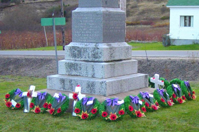
Photographed on 11 November 2005

Photographed on 11 November 2005
Cenotaph/Monument Restoration Program: Nova Scotia
Veterans Affairs Canada, August 2009
Ready for Remembrance Day
Halifax Chronicle Herald, 6 November 2010
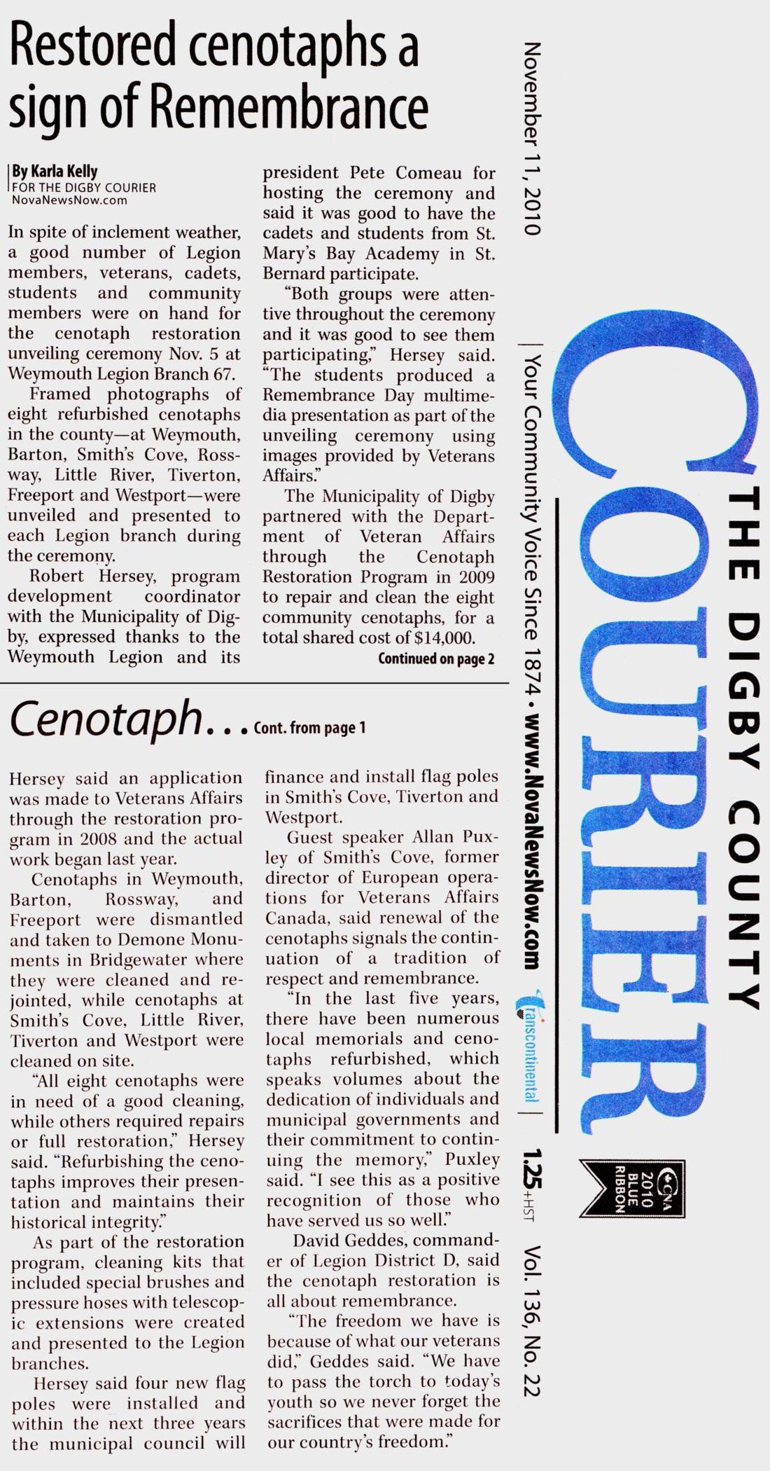
Restored Cenotaphs a sign of Remembrance
The Digby County Courier, 11 November 2010

