Photographs of
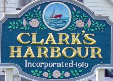
Clark’s Harbour War Memorial
WW1 1914 – 1918
WW2 1939 – 1945 Korea 1950 – 1953
Three monuments
Clark’s Harbour Shelburne County Nova Scotia
Located at the intersection of Highway 330 with Church Street
GPS location: 43°26’46″N 65°37’58″W
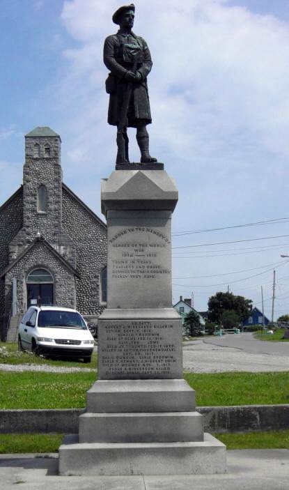
WW1 monument, looking eastward
with the Stone Church in the background
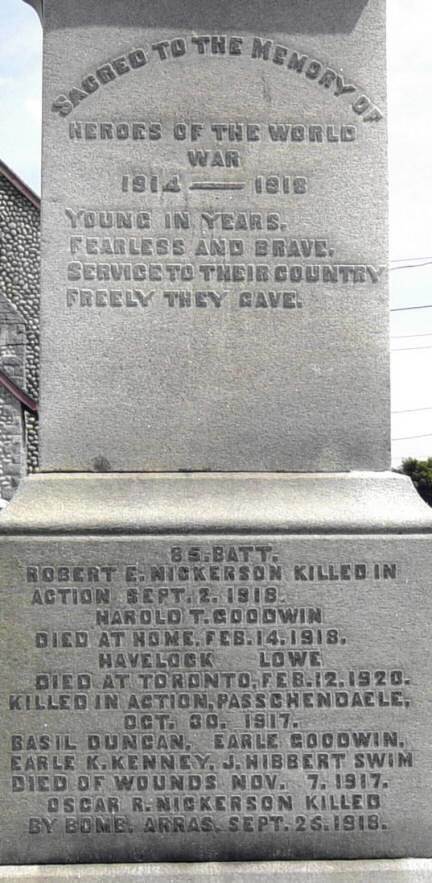
WW1 monument, west face
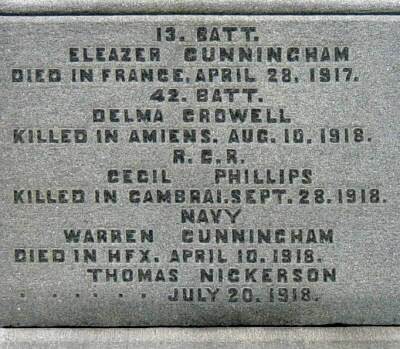
WW1 monument, south face
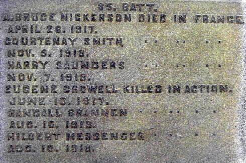
WW1 monument, north face
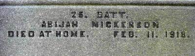
WW1 monument, east face
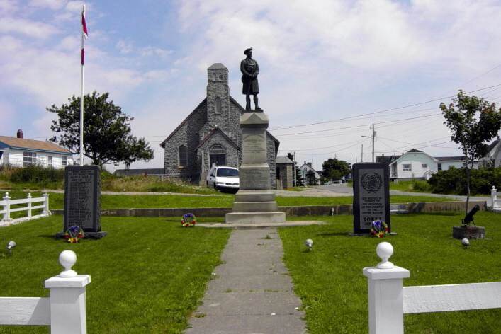
Three war memorial monuments, looking eastward
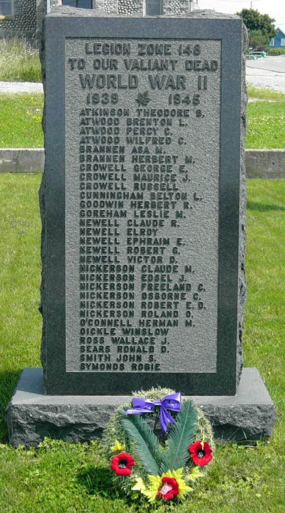
WW2 monument, west face
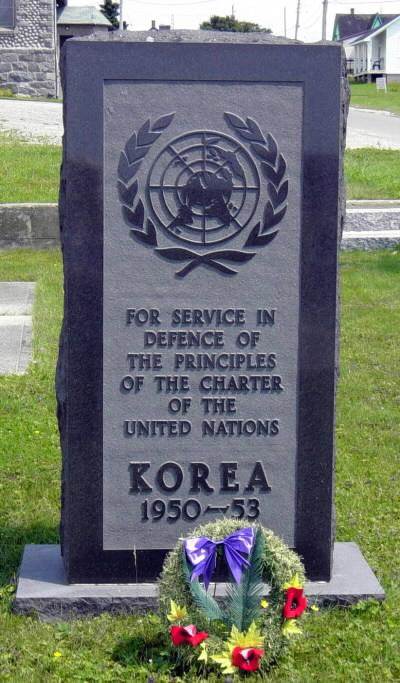
Korean war monument, west face
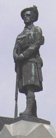
WW1 monument sculpture
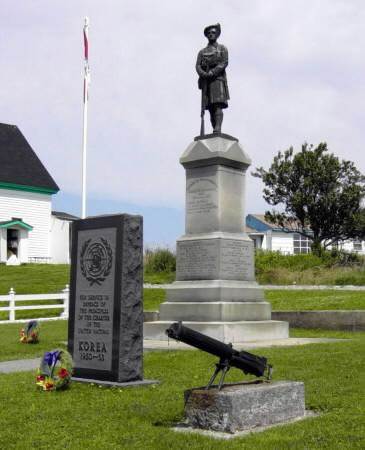
WW1 monument, looking northeastward
The above photographs were taken on 14 August 2003.