Photographs of
New Minas Historic Signs
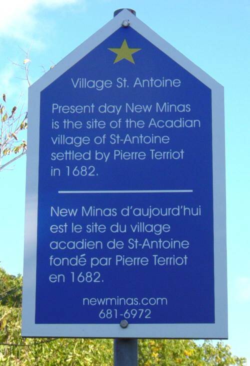
St. Antoine 1682
Kings County Nova Scotia
Located beside Highway One, at the village boundaries
GPS location, West sign: 45°04’19″N 64°28’35″W
GPS location, East sign: 45°04’33″N 64°25’10″W
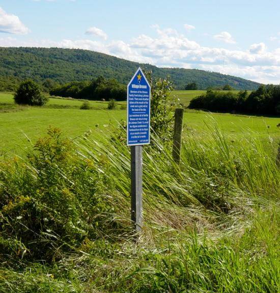
Sign at the western boundary of New Minas
Photographed on 28 October 2005
This sign was removed early in 2006.
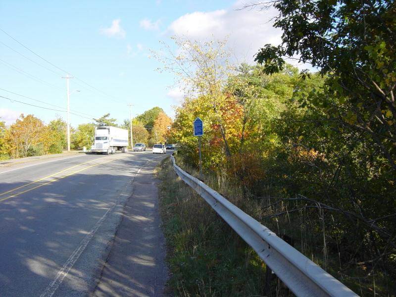
Sign at the western boundary of New Minas, looking eastward along HighwayOne
Photographed on 28 October 2005
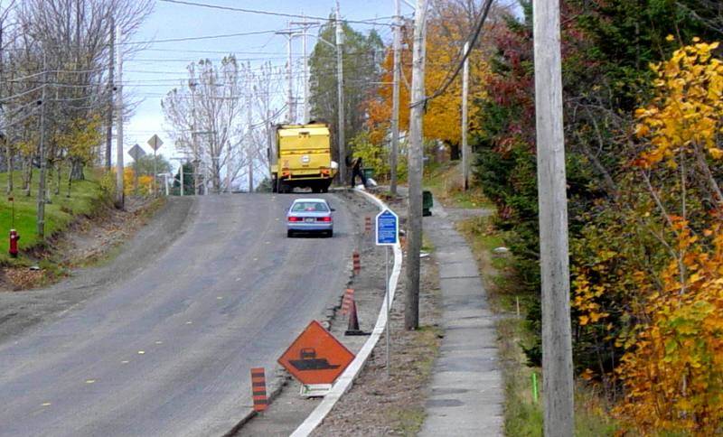
Identical sign at the eastern boundary of New Minas, looking westward along HighwayOne
Photographed on 9 November 2005
This sign was removed a few days after this photograph was taken.
The Acadian hamlet was situated between present-day
Jones and Cornwallis streets, close to the railway.
Link to Relevant Website
History of New Minas
…The origin of the Village of New Minas and the much larger,
former district “Minas” is wrapped in the colorful era of
Acadian History. In 1604, Samuel de Champlain and DeMonte (sic)
sailed into Minas Basin on an expedition from Port Royal.
They found copper at Cape D’Ore (sic) and limestone and
semi-precious stones along the shore. With intention
to mine the minerals, the name “les mines” was given the area…
http://newminas.com/Web/history.html