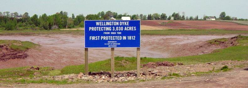
Photographs of
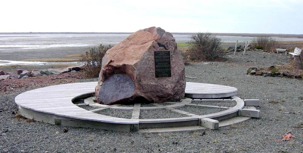
Wellington Dyke
1812
Starrs Point
Kings County Nova Scotia
Located on the Wellington Dyke road, Starrs Point
GPS location: 45°07’36″N 64°24’12″W
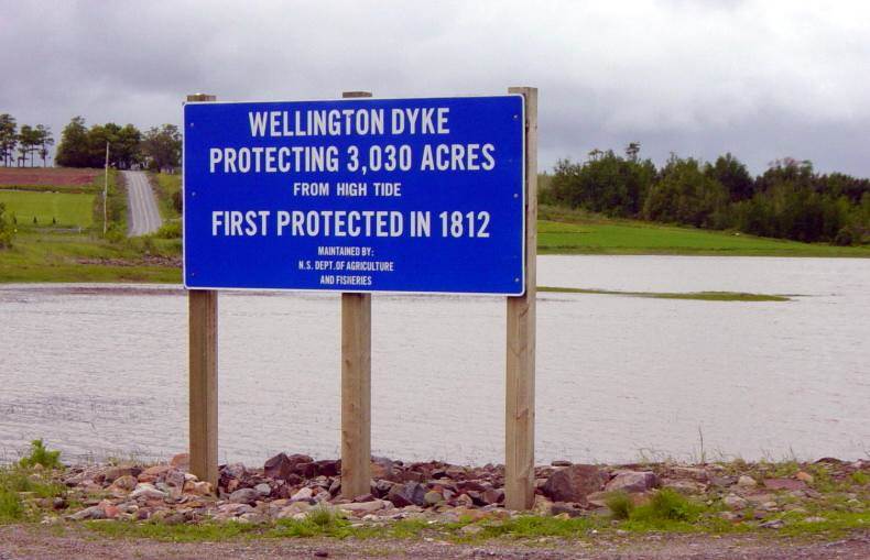
High tide, 2:20pm 15 June 2003
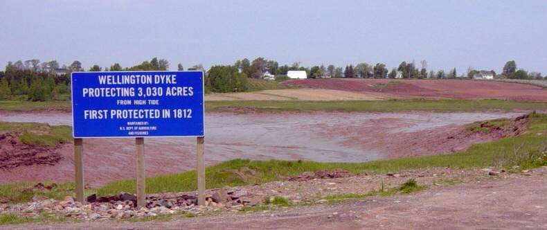
Low tide, 12:35pm 7 June 2003
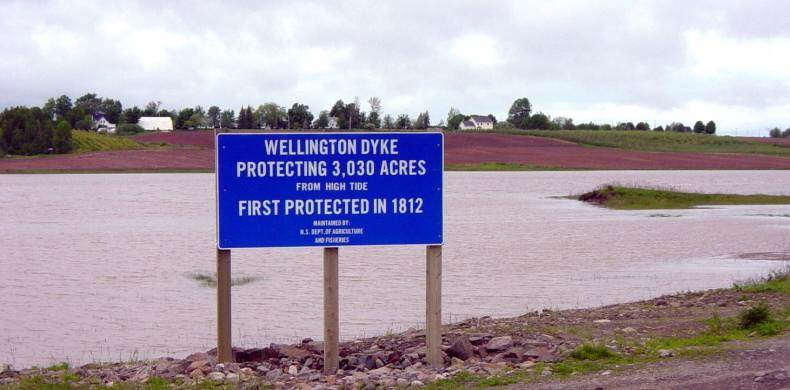
High tide, 2:20pm 15 June 2003

Low tide, 12:35pm 7 June 2003
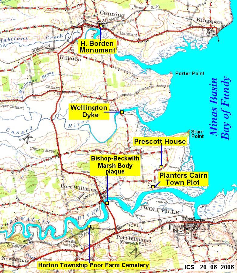
Map showing the location of the Wellington Dyke
Starrs Point, Kings County, Nova Scotia
Roads are shown as they were in 1956.
Except for the Greenwich Connector to Highway 101,
the layout of the roads in 2006 has not changed
much from that shown here.
Planter 2010 Celebration in Nova Scotia
Maritime Dykelands, the 350-year struggle
http://www.gov.ns.ca/nsaf/rs/marsh/dykebook.htm
Dykeland History Archive
http://www.gov.ns.ca/nsaf/rs/marsh/history.htm
Book: The Wellington Dyke, by Marjory Whitelaw
Nimbus Publishing 1997, 56 pages, photographs, maps
ISBN 1551092328


