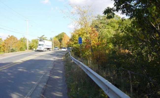
Photographs of New Minas Historic Signs St. Antoine 1682 Kings County Nova Scotia Located beside Highway One, at the village boundaries GPS location, West sign:…
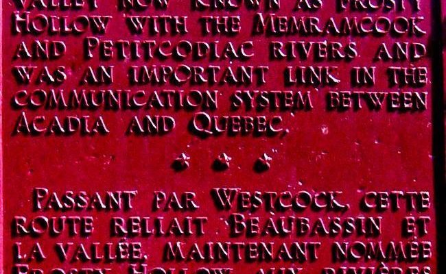
Frosty Hollow Communications Route Before 1784, this area — now known as Westmorland County, New Brunswick — was part of Sunbury County in Nova Scotia.…
Photographs of Country Harbour LoyalistTrail Waterside Site Owned by the Municipality of the District of Guysborough Stormont Guysborough County Nova Scotia Located at Leggett Point,…
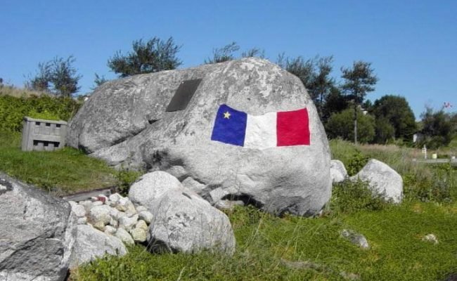
Settlement of Charlos Cove 1763 Photographs of Plaque Charlos Cove Guysborough County Nova Scotia GPS location: 45°14’50″N 61°20’00″W Plaque donated by: Seawind Landing Country Inn…
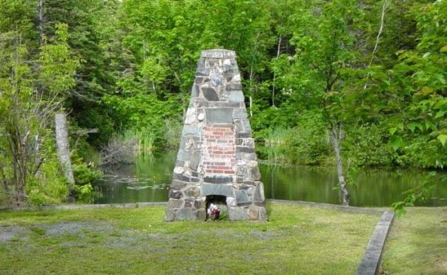
Collapse of the Moose River Gold Mine 12-22 April 1936 Moose River Gold Mines Halifax Regional Municipality Nova Scotia Located at Moose River Gold Mines…
Fort Beausejour 1751 – June 1755 Fort Cumberland after June 1755 Before 1784, this area — now known as Westmorland County, New Brunswick — was…
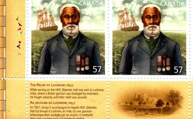
William Hall Victoria Cross Lucknow November 1857 Photographs of Monument Hantsport Hants County Nova Scotia Located at the intersection of Main and Willow Streets GPS…
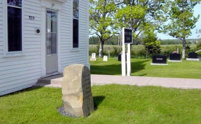
Photographs of Moose Brook Chapel Moose Brook Hants County Nova Scotia Located on the north side of Highway 215 GPS location: 45°16’55″N 63°49’55″W The above…
Photographs of Country Harbour LoyalistTrail Roadside Park Owned by the Municipality of the District of Guysborough Stormont Guysborough County Nova Scotia Located on the west…

